
Yellowstone hiking, without the guesswork
Plan the trail. Download the route. Hike prepared.
Practical trail guides, direct GPX downloads, parking notes, and current safety sources for hiking Yellowstone.
NPS-sourced route data
Clear coverage warnings
Garmin and GPX-app ready
Plan Yellowstone hikes with practical trail guides, interactive maps, downloadable GPX tracks, parking directions, and current safety information. Start with a ready-made one- or two-day itinerary, explore the six featured routes, or browse all trail guides.
Featured Yellowstone Hikes
These six hikes provide a useful mix of waterfalls, lake scenery, family-friendly terrain, and summit climbs. Every card links directly to a complete map and GPX guide.
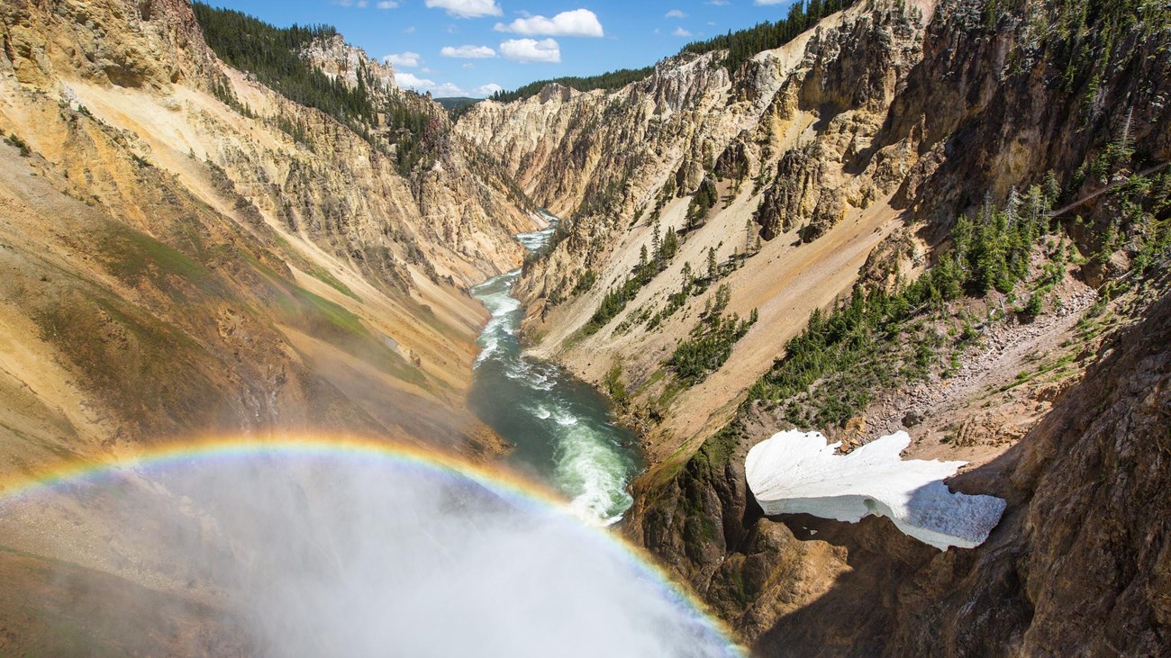
Brink of the Lower Falls
Very steep · 0.7 mile · 600-foot climb back
Descend to the edge of Yellowstone’s 308-foot Lower Falls and climb the switchbacks back to the North Rim.
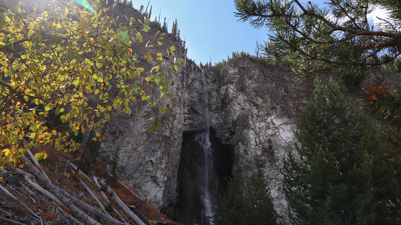
Fairy Falls Trail
Easy · 5.4 miles · 3–5 hours
Follow a mostly level forest route to a 200-foot waterfall near Grand Prismatic Spring.
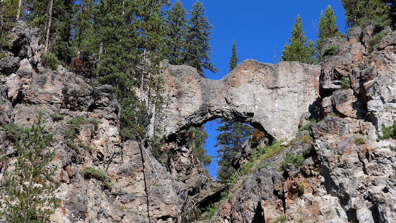
Natural Bridge Trail
Easy · 2.5 miles · 1–2 hours
A family-friendly forest route from Bridge Bay to a 51-foot rhyolite formation.
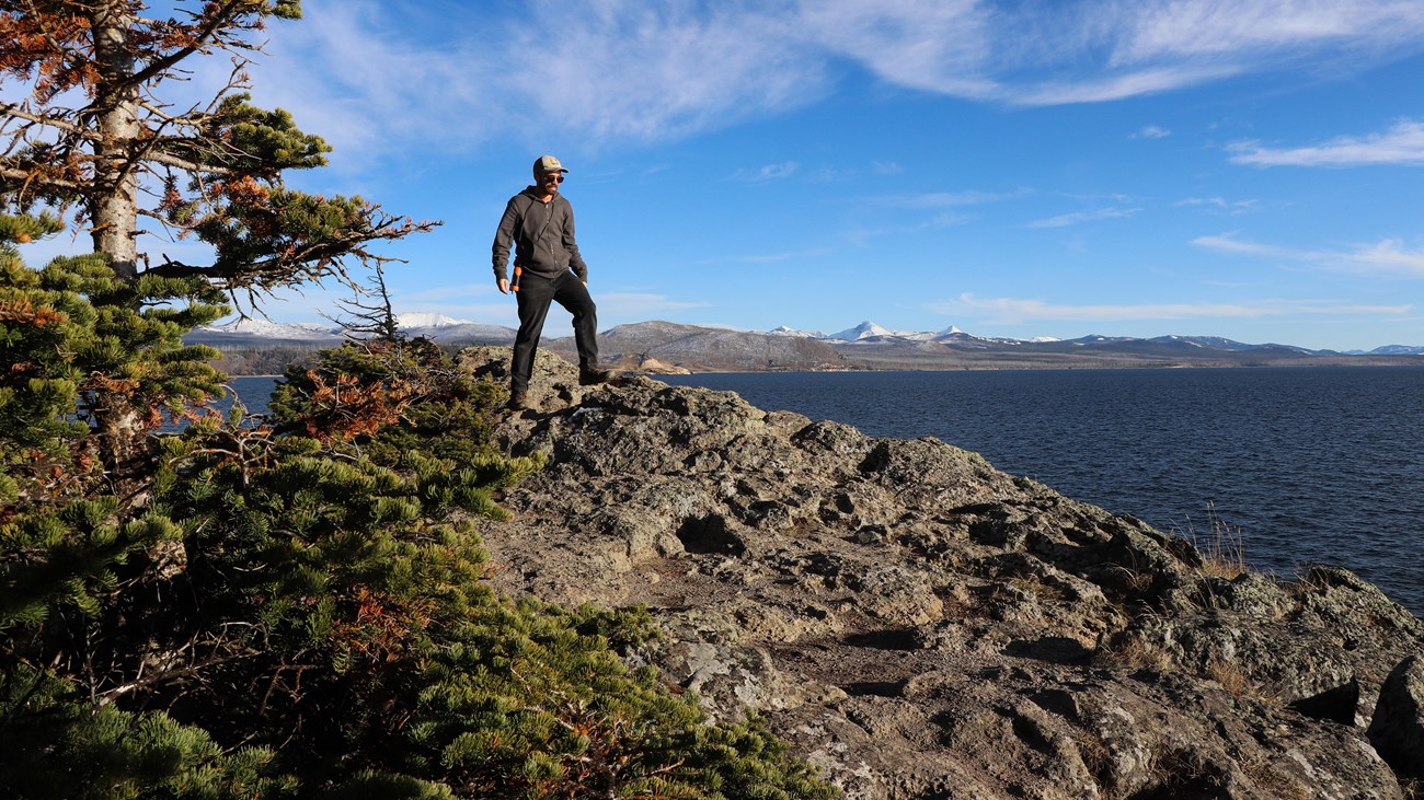
Storm Point Trail
Easy · 2.3-mile loop · 1–2 hours
A varied loop past Indian Pond to Yellowstone Lake, with meadow, forest, shoreline, and marmot habitat.
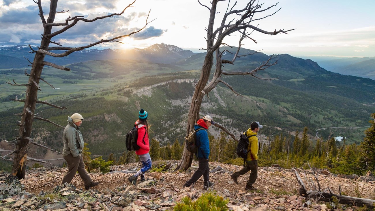
Bunsen Peak Trail
Moderately strenuous · 4.6 miles · 2–3 hours
Climb 1,300 feet above Mammoth for broad views across northern Yellowstone.
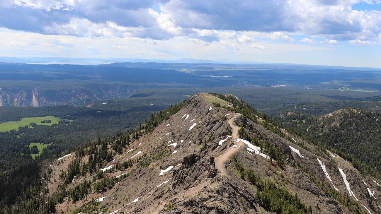
Mount Washburn Trail
Strenuous · 6 miles · 3–6 hours
A high-elevation Dunraven Pass climb to a famous Yellowstone summit and lookout.
Build Your Yellowstone Hiking Itinerary
Choose a realistic plan based on your available time and hiking experience. Every itinerary groups nearby areas, includes easier and harder alternatives, and links to the individual trail maps and GPX files.
One Day: Canyon & Lake
3–5.5 trail miles
A first-timer route with Lower Falls, Storm Point, and an optional Natural Bridge finish.
Two Days: First Visit
8.4 core trail miles
Pair the Canyon and Lake with Fairy Falls, Grand Prismatic, and the Old Faithful area.
One Day with Kids
3.1- or 4.8-mile plan
A flexible Lake-area day with Natural Bridge and a short or full afternoon option.
Two Days: Experienced Hikers
10.2 core summit miles
Mount Washburn and Avalanche Peak, with weather-ready lower alternatives.
Start Here: Essential Guides
New to Yellowstone hiking? Use these guides to choose suitable trails and prepare for fast-changing weather and wildlife country.
Best Day Hikes for First-Time Visitors
Compare high-reward hikes and group them into realistic Yellowstone days.
Hiking Yellowstone with Kids
Find shorter routes with practical distance, timing, and safety details for families.
What to Pack for Hiking in Yellowstone
Use the year-round gear list for layers, water, navigation, bear spray, and changing conditions.
Browse by Trip Style
Check Current Yellowstone Conditions
Trail access, wildlife closures, road conditions, and weather can change quickly. Check the official National Park Service Yellowstone conditions before every hike.