
Bunsen Peak Trail in Yellowstone is a moderately strenuous 4.6-mile out-and-back near Mammoth Hot Springs. The route climbs about 1,300 feet through forest and meadow to wide views of Swan Lake Flat, the Gallatin Range, and northern Yellowstone.
This guide covers parking, summit conditions, bear safety, an interactive route map, and a downloadable GPX track. Find more summit routes in our Best Hikes collection.
Trail Details
| Full hike | 4.6-mile out-and-back |
| GPX coverage | 2.21 miles one way |
| Difficulty | Moderately strenuous |
| Time | 2–3 hours |
| Elevation gain | About 1,300 feet |
| Trailhead | Grand Loop Road south of Golden Gate |
Distance note: the GPX is one way. Retrace it to return and use 4.6 miles as the official round-trip distance.
Bunsen Peak Trail map and GPX
The map follows the main hiking trail from the small parking area to the summit. GPX Viewer provides the page’s only download button.
bunsen-peak-trail GPX
| Name: | No data |
| Distance: | No data |
| Minimum elevation: | No data |
| Maximum elevation: | No data |
| Elevation gain: | No data |
| Elevation loss: | No data |
| Duration: | No data |
What the hike is like
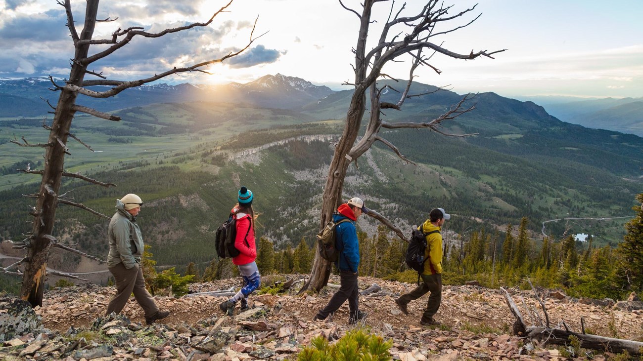
The trail climbs steadily through trees and open meadow before crossing rockier upper slopes. Views expand toward Blacktail Deer Plateau, Swan Lake Flat, the Gallatin Mountains, and the Yellowstone River valley. Communications equipment is visible at the summit because the peak supports services for nearby communities.
The upper mountain is exposed to wind, sun, and fast weather changes. Bring water and layers, and turn around if thunderstorms develop.
Directions and parking
The gravel parking lot is about 5 miles south of Mammoth Hot Springs on Grand Loop Road, just south of Golden Gate and across from the Glen Creek trailhead. The lot is small and often fills in summer; never improvise a roadside space.
Put the GPX on your watch
- Download the GPX from the map.
- Garmin: import it as a Course in Garmin Connect and sync it.
- COROS: add it to the COROS route library and sync it.
- Apple Watch: use a GPX-capable app such as WorkOutDoors, Footpath, or Gaia GPS.
- For another device, look for GPX import under Routes, Courses, or Navigation.
- Verify that the one-way summit track is offline, then retrace it to return.
Bears and current conditions
Grizzly bears frequent the Bunsen Peak area. Carry bear spray where it is immediately accessible, make noise in limited visibility, and stay far from wildlife. Check current Yellowstone conditions and the backcountry situation report before hiking.
Bunsen Peak Trail FAQ
How long does Bunsen Peak Trail take?
The NPS estimates 2–3 hours for the 4.6-mile out-and-back, though weather, fitness, and time at the summit can extend the outing.
How much elevation does Bunsen Peak gain?
The route gains about 1,300 feet from the trailhead to the summit.
Is Bunsen Peak Trail a loop?
No. The summit hike is an out-and-back. Follow the same trail downhill to the parking lot.
Related Yellowstone hikes
- Beaver Ponds Trail — a lower Mammoth-area wildlife loop
- Mount Washburn Trail — a higher, longer Yellowstone summit hike
This generalized GPX is for planning and does not replace trail signs, an official map, or current NPS instructions. Facts checked against the National Park Service Bunsen Peak Trail guide. GPX source: NPS Yellowstone trail centerline data.