
Easy Hikes Near Old Faithful: Maps, Miles & GPX
Five easy and moderate hikes near Old Faithful, with distances, hiking times, parking notes, maps, and free GPX downloads.
Five easy and moderate hikes near Old Faithful, with distances, hiking times, parking notes, maps, and free GPX downloads.
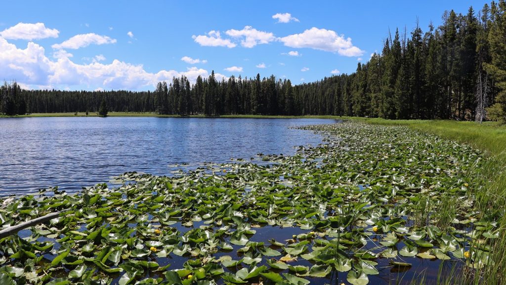
Plan the 5.8-mile Ribbon Lake Trail through Clear Lake’s hydrothermal landscape with a Yellowstone Canyon map, GPX track, parking, and safety.
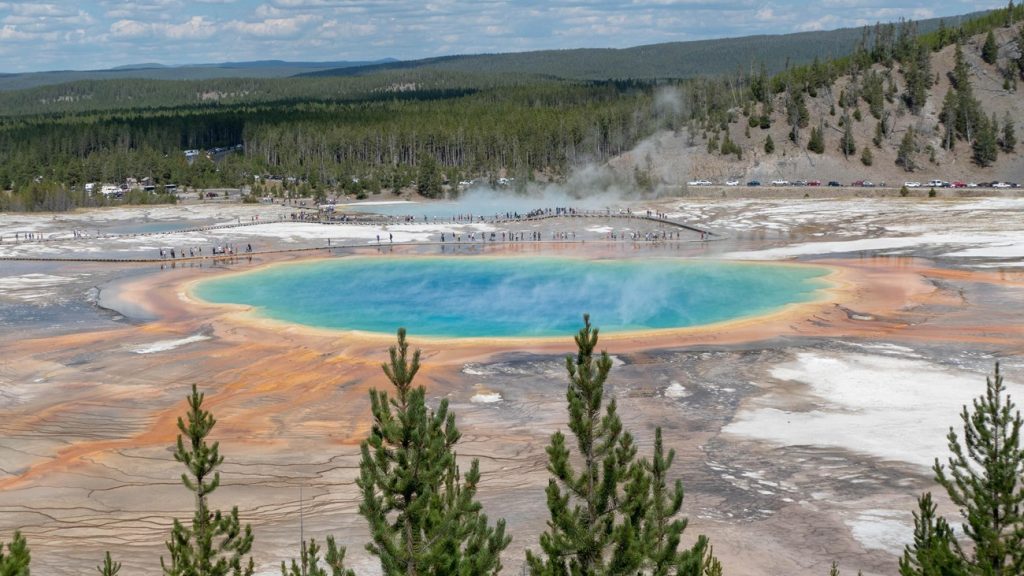
Plan the 1.2-mile Grand Prismatic Overlook Trail with a Yellowstone map, GPX track, Fairy Falls parking, a 105-foot climb, and crowd tips.
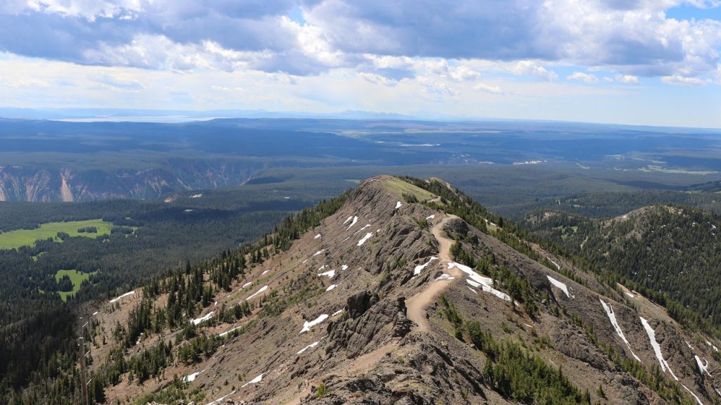
Pair Mount Washburn and Avalanche Peak in a strenuous two-day Yellowstone hiking itinerary, with 10.2 core miles and weather-ready alternatives.
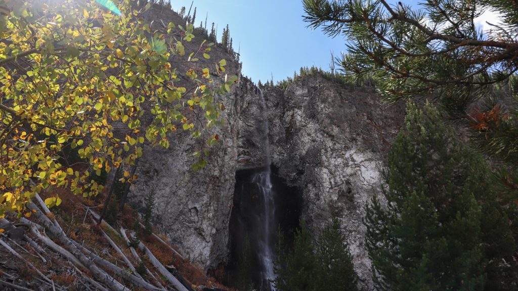
Use this two-day Yellowstone hiking itinerary to combine Canyon, Lake, Fairy Falls, and the geyser basins without crisscrossing the park.
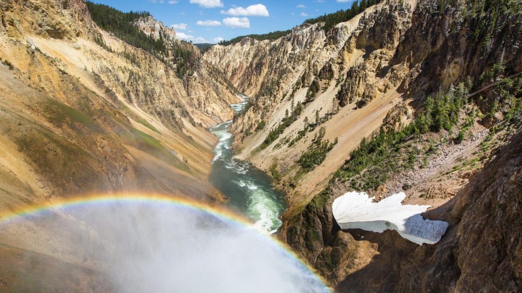
Follow a realistic one-day Yellowstone hiking itinerary through the Canyon and Lake areas, with 3 to 5.5 miles of hiking and easier or harder options.
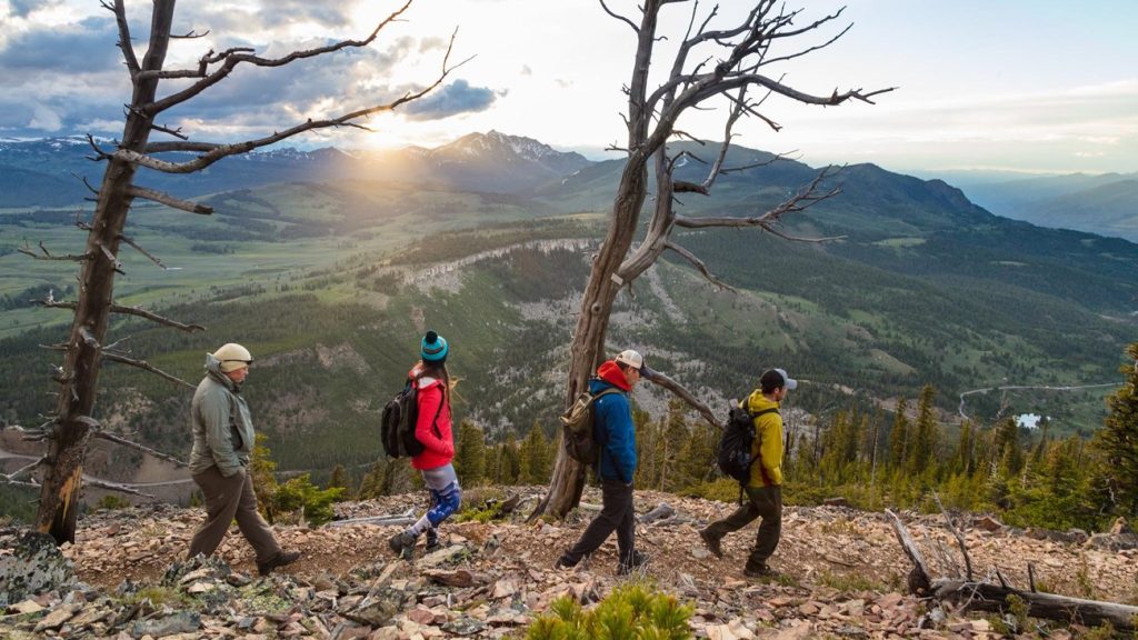
Plan the 4.6-mile Bunsen Peak Trail near Mammoth with a Yellowstone route map, GPX track, parking, 1,300-foot climb, and bear safety.
Plan Yellowstone’s steep 0.7-mile Brink of the Lower Falls Trail with a route map, GPX track, parking, 600-foot descent, and safety advice.
Plan the 6-mile Mount Washburn Trail from Dunraven Pass with a Yellowstone route map, GPX track, parking, altitude, and lightning advice.
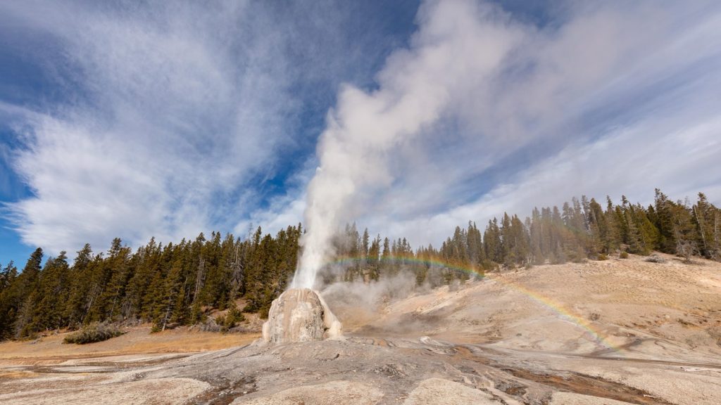
Plan the easy 4.8-mile Lone Star Geyser Trail with a Yellowstone route map, GPX track, parking directions, eruption timing, and bike tips.