
This strenuous two-day Yellowstone hiking itinerary pairs Mount Washburn and Avalanche Peak for experienced hikers. The two core summit routes total 10.2 miles; optional Lower Falls and Storm Point add up to 13.2 miles. Both days require early starts, conservative weather judgment, and a willingness to use lower alternatives.
Experienced-hiker itinerary at a glance
| Day | Core summit hike | Optional add-on |
|---|---|---|
| Day 1 | Mount Washburn from Dunraven Pass: 6 miles | Brink of the Lower Falls: 0.7 mile, very steep |
| Day 2 | Avalanche Peak: 4.2 miles | Storm Point: 2.3 miles, easy |
Core total: 10.2 miles. With both add-ons: 13.2 miles. Mileage does not communicate the full difficulty: both summit hikes reach high elevation and climb steeply.
Who should use this itinerary
This plan is for hikers with recent experience on steep mountain trails who can manage altitude, loose footing, exposure, rapid weather changes, and consecutive days of climbing. It is not a way to test brand-new boots or discover whether the group tolerates elevation. In early or late season, snow and road access may make one or both summit routes unsuitable.
Day 1: Mount Washburn and the Canyon
Early morning: Mount Washburn from Dunraven Pass
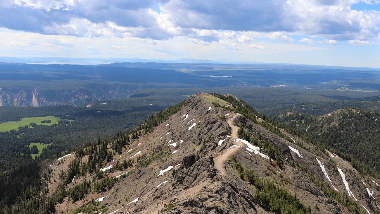
Use the 6-mile Mount Washburn Trail guide for access, the approximately 1,400-foot climb, map, and downloadable GPX file. Start early enough to reduce exposure to afternoon lightning, but never start through unsafe snow, active storms, or a closure.
The summit area is exposed and can be cold and windy even when lower elevations feel comfortable. Turn around when clouds build or the group’s pace is slower than planned; the lookout is not worth a lightning risk.
Optional afternoon: Brink of the Lower Falls
After recovery time, experienced hikers with stable weather can add the 0.7-mile Brink of the Lower Falls Trail. Its roughly 600-foot climb back is significant after Mount Washburn. Canyon rim overlooks are the sensible no-climb alternative.
Day 2: Avalanche Peak and Yellowstone Lake
Early morning: Avalanche Peak
The 4.2-mile Avalanche Peak Trail climbs about 2,100 feet and includes steep, loose, exposed terrain. Open the guide for the trailhead, route map, GPX file, seasonal considerations, and detailed turnaround advice.
Do not attempt the peak during thunderstorms, high wind, unsafe snow, or a park closure. An early start improves the odds of calmer conditions but does not guarantee them.
Optional recovery hike: Storm Point
If the group finishes comfortably and Storm Point is open, the 2.3-mile Storm Point loop provides a lower, easier finish beside Yellowstone Lake. Skip it when wind, bears, fatigue, or the schedule makes recovery the wiser choice.
Weather and closure alternatives
- If Mount Washburn is unsuitable: use the 4.6-mile Bunsen Peak Trail only if its own access and weather are safe. It still climbs about 1,300 feet and remains exposed.
- If Avalanche Peak is unsuitable: choose the 3.5-mile Elephant Back Mountain Trail or an open Lake-area route instead of forcing a summit.
- If high-elevation conditions are poor for both days: rebuild the trip around canyon, forest, and lake trails. The itinerary is a plan, not an obligation.
Where to stay
Canyon is the most convenient geographic base for Mount Washburn and the Lower Falls. The Lake area is better positioned for Avalanche Peak and Storm Point. Splitting the stay can reduce backtracking; one Canyon or Lake base can still work if you budget an early drive. Verify road, lodging, and trailhead access because all operate seasonally.
Navigation and mountain-safety checklist
- Download each trail’s map and GPX file separately, plus an official park map. Do not depend on cell coverage.
- Check the current conditions, roads, backcountry situation report, and mountain forecast before each start.
- Carry accessible bear spray, adequate water and food, insulation, rain protection, sun protection, and a basic emergency kit.
- Set a turnaround time before hiking. Reaching a summit never overrides lightning, wind, snow, fire, wildlife, or closure hazards.
- Allow recovery time between summit days and avoid adding mileage merely because it appears in this itinerary.
Experienced Yellowstone itinerary FAQ
Which summit should I hike first?
Put the summit with the better forecast and confirmed access first. If conditions are similar, Mount Washburn provides a somewhat longer but less aggressively steep core route than Avalanche Peak.
Can I combine both peaks in one day?
This itinerary does not recommend it. Road time, parking, altitude, roughly 3,500 feet of combined climbing, and afternoon weather make two separate mornings the more defensible plan.
Is Avalanche Peak just a shorter Mount Washburn?
No. Avalanche Peak packs substantially more climbing per mile and has loose, exposed terrain. Compare the full guides rather than choosing by mileage alone.
Official planning sources: Yellowstone hiking, Mount Washburn from Dunraven Pass, Avalanche Peak, and Yellowstone safety.