
Storm Point Trail in Yellowstone is an easy 2.3-mile loop through open meadow, past Indian Pond, and along the shore of Yellowstone Lake. The varied route includes lodgepole forest, a rocky point, and frequent yellow-bellied marmot sightings.
This guide covers parking, route conditions, seasonal bear closures, an interactive map, and the GPX track. For broader planning, visit our Hiking in Yellowstone guide.
Trail Details
| Full hike | 2.3-mile loop |
| GPX coverage | 2.08 miles of mapped geometry |
| Route | Loop |
| Difficulty | Easy |
| Time | 1–2 hours |
| Elevation | Generally gentle; not included in the GPX |
| Trailhead | Indian Pond pullout |
Distance note: do not double this track—the official hike is a loop.
Storm Point Trail map and GPX
Use the interactive map to preview the loop and elevation profile. The map includes the article’s single GPX download link.
storm-point-trail GPX
| Name: | No data |
| Distance: | No data |
| Minimum elevation: | No data |
| Maximum elevation: | No data |
| Elevation gain: | No data |
| Elevation loss: | No data |
| Duration: | No data |
What to expect
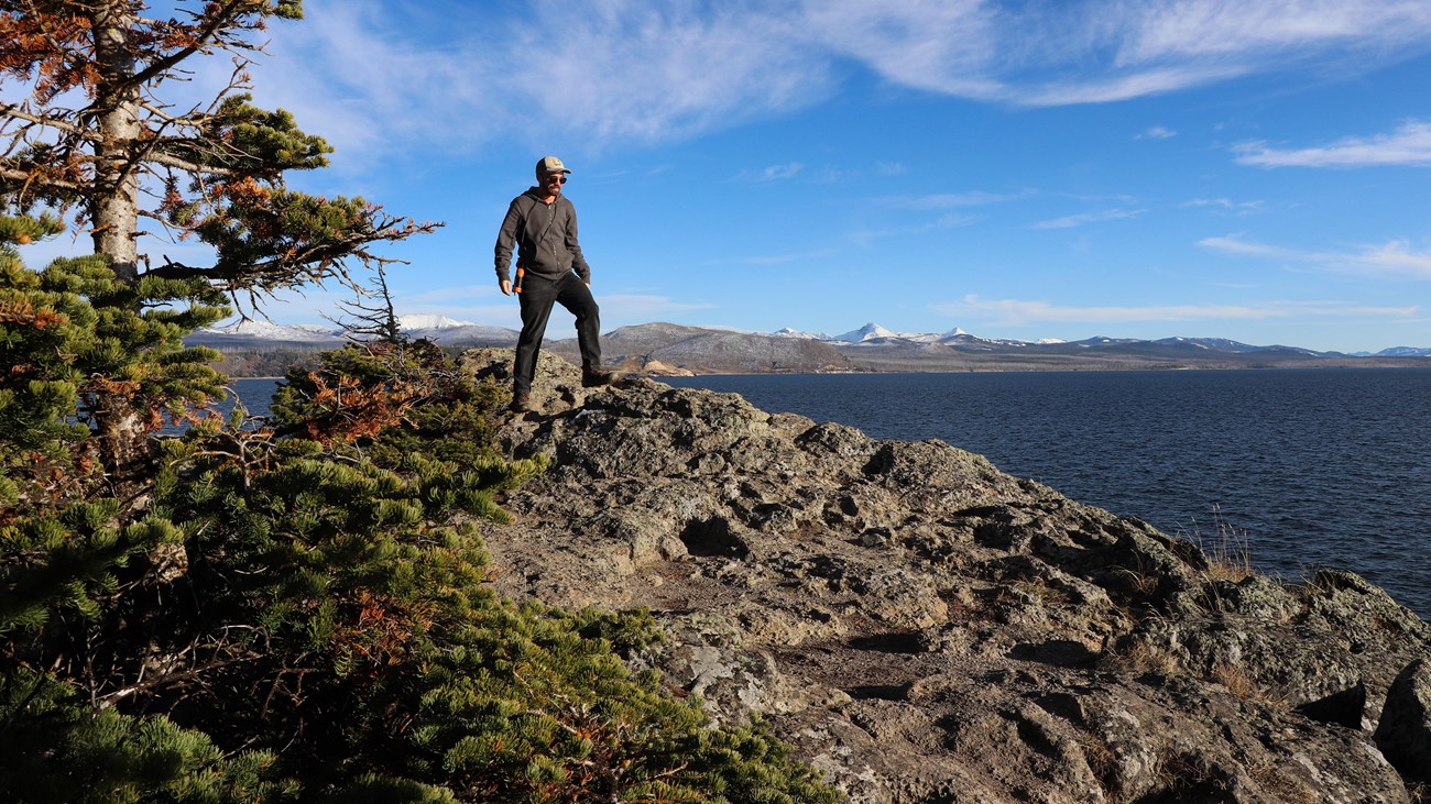
The loop begins in meadow overlooking Indian Pond and Yellowstone Lake, moves into forest, then reaches the wind-exposed rocks at Storm Point. From the point, it follows the lakeshore before circling through lodgepole forest to the trailhead.
Marmots live among the rocks near the point. Observe them from a distance and never feed wildlife. Wind off Yellowstone Lake can make the point much cooler than the parking area, so carry a layer even on a sunny day.
Distance note: this is a loop, so do not double the mileage. The NPS lists the complete hike as 2.3 miles; the generalized centerline GPX measures 2.08 miles and should be treated as an approximate navigation line.
Directions and parking
Park at the Indian Pond pullout, about 3 miles east of Fishing Bridge Visitor Center. The route begins in the meadow overlooking Indian Pond and Yellowstone Lake.
Put the GPX on your watch
- Download the GPX to your phone or computer.
- Garmin: import it as a Course in Garmin Connect and sync it to your compatible watch.
- COROS: add it to the route library in the COROS app, save it, and sync it to the watch.
- Apple Watch: use a GPX-capable app such as WorkOutDoors, Footpath, or Gaia GPS.
- For another device, look for GPX import under Routes, Courses, or Navigation.
- Verify that the route appears as a loop and is available offline before the hike.
Closures and shoreline protection
The trail is often closed in late spring or early summer because of bear activity. The beach west of the Storm Point trail is also closed to protect sensitive plants. Check current backcountry conditions and remain on the established route.
Storm Point Trail FAQ
How long does Storm Point Trail take?
Allow 1–2 hours for the 2.3-mile loop, with more time if you stop along Yellowstone Lake.
Should I double the GPX distance?
No. Storm Point is a loop. The generalized GPX measures about 2.08 miles, while the NPS lists the complete hike as 2.3 miles.
Why does Storm Point Trail close?
The trail is often closed in late spring and early summer because of bear activity. A separate beach closure west of the trail protects sensitive plant habitat.
Related Yellowstone hikes
- Riddle Lake Trail — an easy out-and-back near Grant Village
- Avalanche Peak Trail — a strenuous summit hike east of Fishing Bridge
This generalized GPX is for planning and does not replace trail signs, an official map, or current NPS instructions. Facts checked against the National Park Service Storm Point Trail guide. GPX source: NPS Yellowstone trail centerline data.