
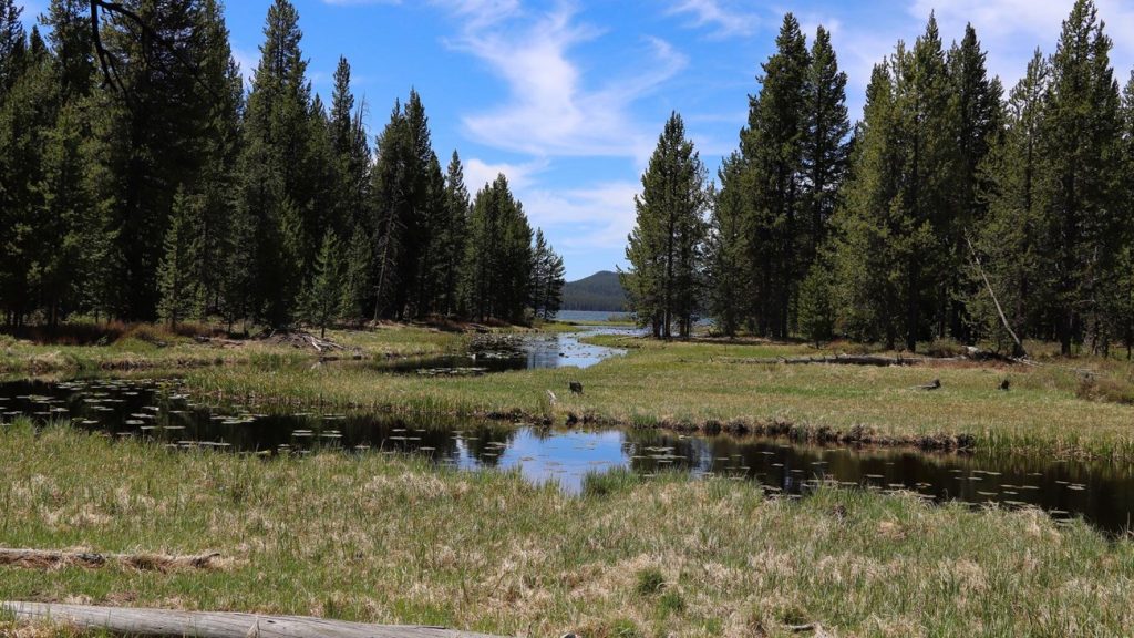
DeLacy Creek Trail: Shoshone Lake Map & GPX Guide
Plan the easy 5.8-mile DeLacy Creek Trail to Shoshone Lake with a Yellowstone map, GPX track, Craig Pass parking, wildlife, and backcountry safety.
Plan the easy 5.8-mile DeLacy Creek Trail to Shoshone Lake with a Yellowstone map, GPX track, Craig Pass parking, wildlife, and backcountry safety.
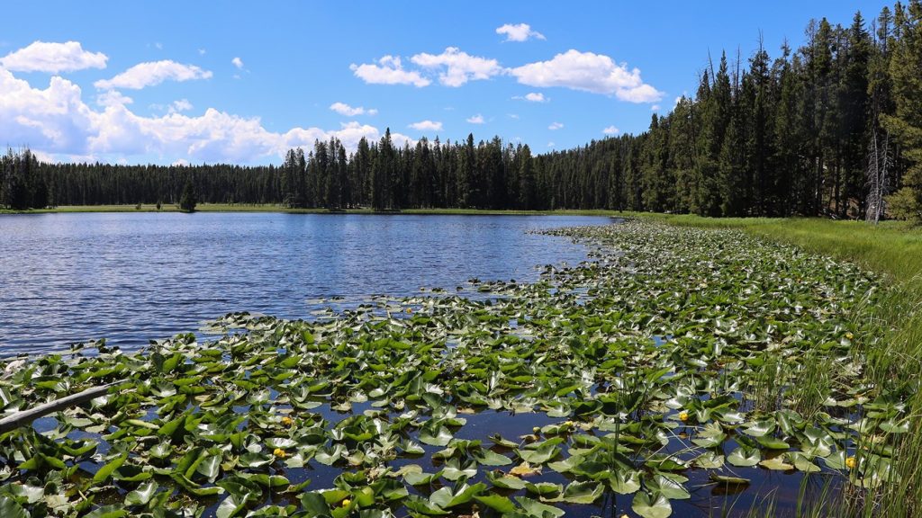
Plan the 5.8-mile Ribbon Lake Trail through Clear Lake’s hydrothermal landscape with a Yellowstone Canyon map, GPX track, parking, and safety.
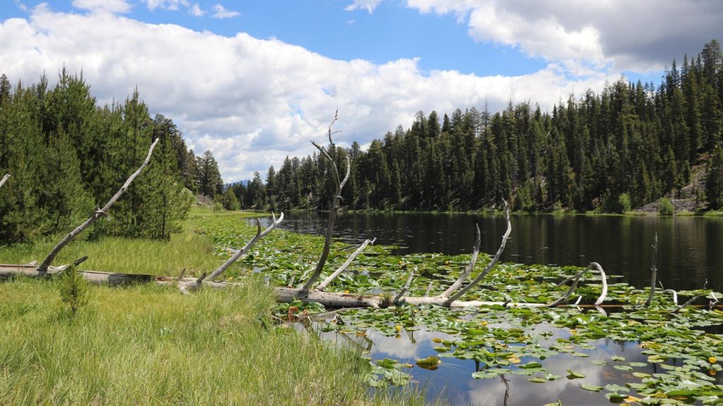
Plan Yellowstone’s 2.8-mile Lost Lake Trail loop near Roosevelt Lodge with a map, GPX track, parking choices, horses, bears, and bison.
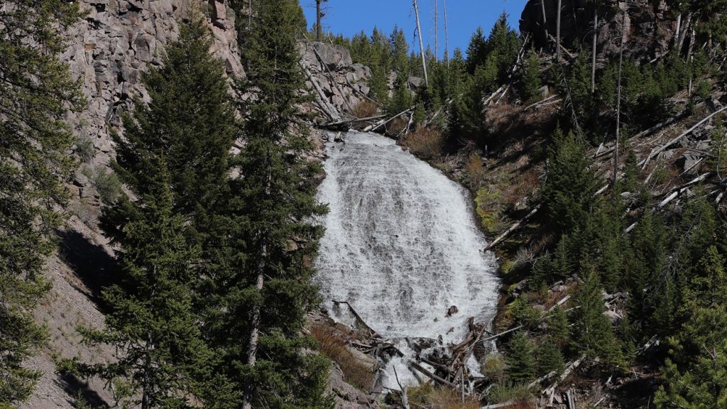
Plan Yellowstone’s easy 1-mile Wraith Falls Trail with a route map, GPX track, Lava Creek parking, final rocky steps, and wildlife safety.
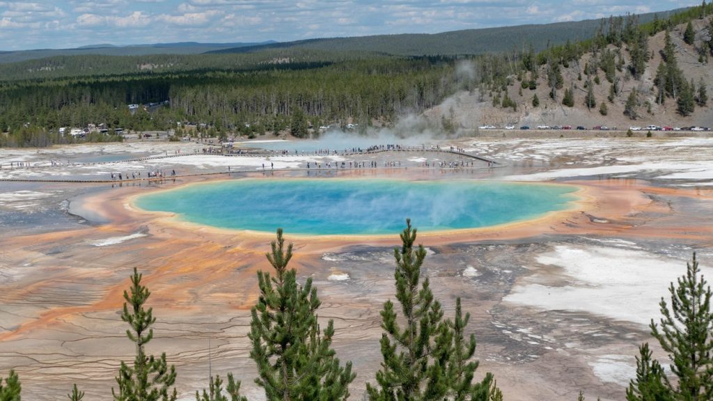
Plan the 1.2-mile Grand Prismatic Overlook Trail with a Yellowstone map, GPX track, Fairy Falls parking, a 105-foot climb, and crowd tips.
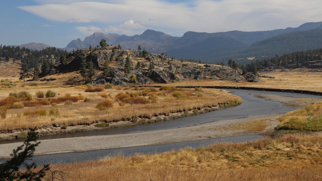
Plan the 3.4-mile Slough Creek Trail to the first meadow with a Yellowstone map, GPX track, parking, wildlife, fishing, and horse etiquette.
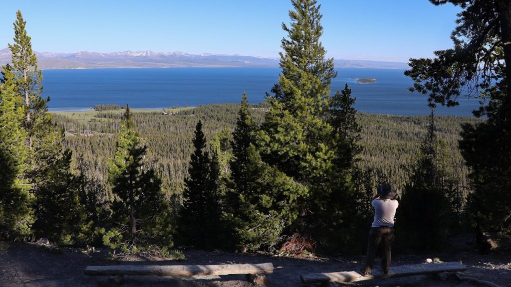
Plan the 3.5-mile Elephant Back Mountain Trail with a Yellowstone Lake overlook map, GPX loop, parking, 800-foot climb, and bear safety.
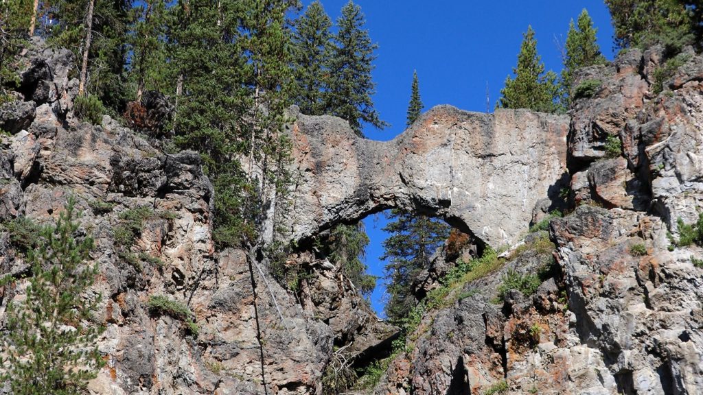
Plan Yellowstone’s easy 2.5-mile Natural Bridge Trail with a route map, GPX track, Bridge Bay parking, biking notes, and bear closure details.
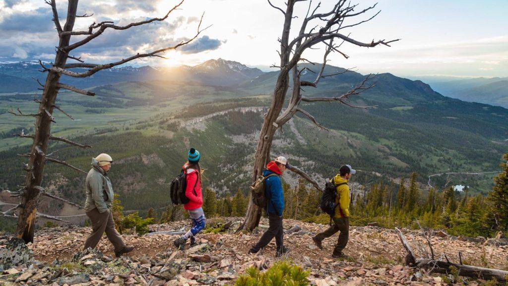
Plan the 4.6-mile Bunsen Peak Trail near Mammoth with a Yellowstone route map, GPX track, parking, 1,300-foot climb, and bear safety.
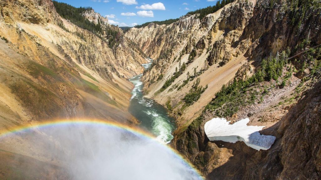
Plan Yellowstone’s steep 0.7-mile Brink of the Lower Falls Trail with a route map, GPX track, parking, 600-foot descent, and safety advice.