
Beaver Ponds Trail in Yellowstone is a moderately strenuous 5-mile loop from Mammoth Hot Springs through sagebrush, forest, and a chain of wildlife-rich ponds. It climbs more than 350 feet and offers a quieter contrast to the nearby terraces.
This guide covers the two Mammoth access points, route gaps in the planning GPX, bear safety, and the page’s interactive map. Browse every guide in our Yellowstone Trails collection.
Trail Details
| Full hike | 5-mile loop |
| GPX coverage | 4.10 miles in two backcountry track segments |
| Difficulty | Moderately strenuous |
| Time | 2–5 hours |
| Elevation gain | More than 350 feet |
| Trailheads | North of Liberty Cap or behind Mammoth Hot Springs Hotel |
Important GPX note: the NPS centerline has gaps near Mammoth. The file intentionally preserves them instead of drawing invented straight lines. Follow signs and an official map to complete the 5-mile loop.
Beaver Ponds Trail map and GPX
The map shows the mapped backcountry portions as separate segments. GPX Viewer provides the article’s single route-download button.
beaver-ponds-trail GPX
| Name: | No data |
| Distance: | No data |
| Minimum elevation: | No data |
| Maximum elevation: | No data |
| Elevation gain: | No data |
| Elevation loss: | No data |
| Duration: | No data |
What the hike is like
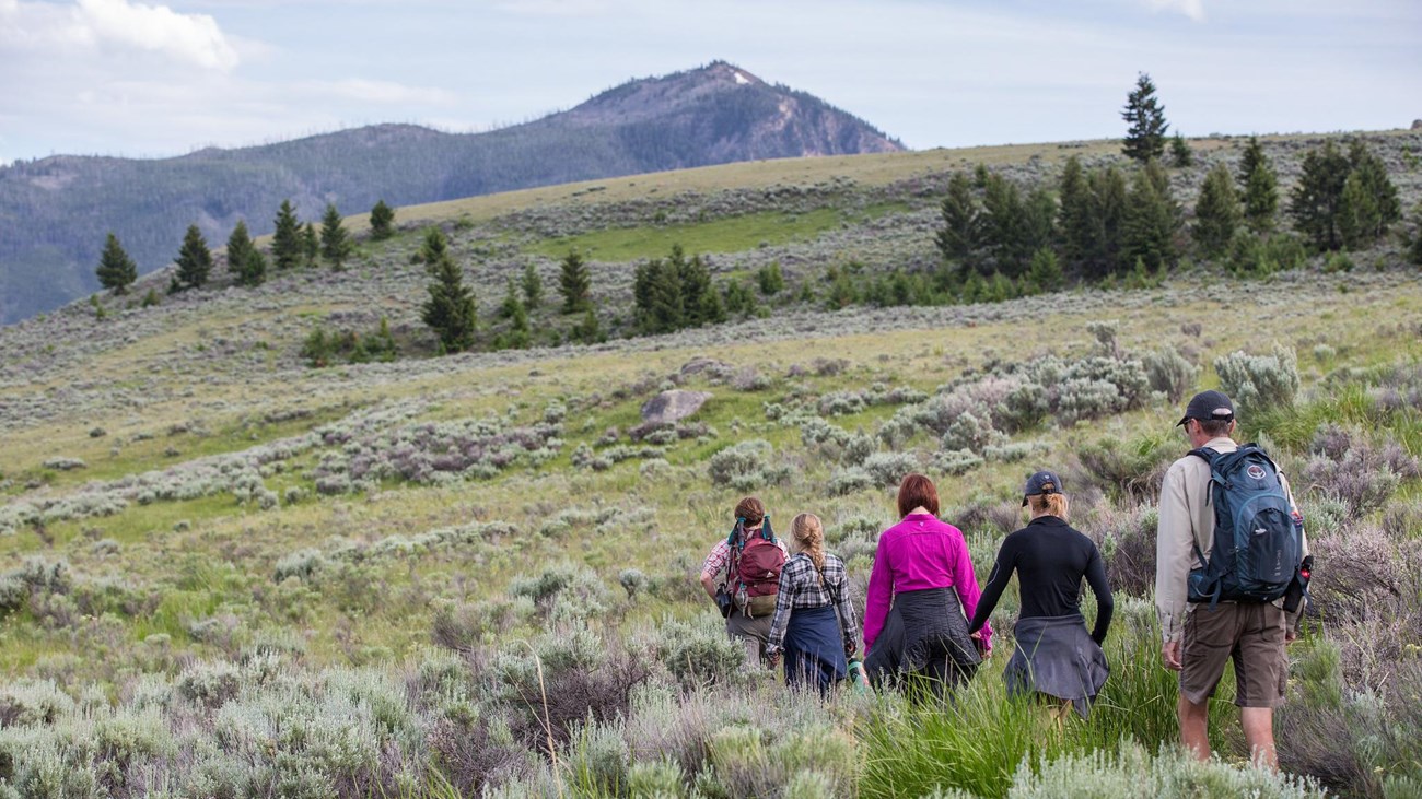
The loop leaves the developed Mammoth area and climbs through open sagebrush before entering trees and rolling terrain around several ponds. The mix of water, meadow, and forest supports beavers, waterfowl, elk, and bears, though sightings are never guaranteed.
The route can feel longer than the mileage suggests because of climbing, exposed sections, and navigation through multiple junctions. Start with enough daylight, carry water, and keep the official park map available even if you load the GPX.
Trailheads and parking
The NPS identifies access north of Liberty Cap near the stone house and behind Mammoth Hot Springs Hotel near Old Gardiner Road. Choose designated parking in Mammoth, note which access you used, and follow current signs through the developed area to close the loop.
Put the GPX on your watch
- Download the GPX from the interactive map.
- Garmin: import it as a Course in Garmin Connect and sync it.
- COROS: add it to the COROS route library and sync it.
- Apple Watch: import it with WorkOutDoors, Footpath, Gaia GPS, or another GPX-capable app.
- For another device, look for GPX import under Routes, Courses, or Navigation.
- Confirm that two track segments appear. Do not navigate directly across the gaps; use signs and the official map.
Bear safety and current conditions
Beaver Ponds is active black- and grizzly-bear habitat. Carry bear spray where you can reach it, hike in a group when possible, make noise in limited visibility, and never approach wildlife. Check current Yellowstone conditions and the backcountry situation report before starting.
Beaver Ponds Trail FAQ
How difficult is Beaver Ponds Trail?
The NPS rates it moderately strenuous. The 5-mile loop gains more than 350 feet and includes exposed, forested, and uneven trail.
Will I see beavers?
The ponds provide beaver habitat, but sightings are never assured. Scan quietly from the trail and keep a safe distance from every animal.
Why does the GPX have two segments?
The official centerline source has unmapped gaps near Mammoth. The package preserves those gaps instead of creating false connectors, so the GPX must be paired with signs and an official map.
Related Yellowstone hikes
- Trout Lake Trail — a much shorter wildlife-oriented lake loop
- Mount Washburn Trail — a strenuous high-elevation summit hike
This generalized GPX is for planning and does not replace trail signs, an official map, or current NPS instructions. Facts checked against the National Park Service Beaver Ponds Trail guide. GPX source: NPS Yellowstone trail centerline data.