
Ribbon Lake Trail in Yellowstone is a moderate 5.8-mile out-and-back from the Canyon area’s Clear Lake trailhead. The route passes forest, a hydrothermal landscape near Clear Lake, and junctions toward Lily Pad Lake before reaching quiet Ribbon Lake.
This guide covers the standard route, optional Artist Point return, thermal-ground safety, parking, an interactive map, and a downloadable GPX track. Find other high-reward routes in our Best Hikes collection.
Trail Details
| Official hike | 5.8-mile out-and-back |
| GPX coverage | 2.58 miles one way on generalized NPS centerline |
| Difficulty | Moderate |
| Time | 3–4 hours |
| Season | Summer and fall |
| Trailhead | Upper Falls Viewpoints parking area, South Rim Drive |
Distance note: the generalized GPX is one way and is shorter than half of the official 5.8-mile outing because developed approaches and minor connections are not fully represented. Follow current signs and use the official mileage for planning.
Ribbon Lake Trail map and GPX
The map follows the Clear Lake and Ribbon Lake centerlines from the South Rim area to the lake. It does not map the optional Artist Point and paved South Rim return. GPX Viewer provides the page’s single download button.
ribbon-lake-trail GPX
| Name: | No data |
| Distance: | No data |
| Minimum elevation: | No data |
| Maximum elevation: | No data |
| Elevation gain: | No data |
| Elevation loss: | No data |
| Duration: | No data |
What the hike is like
From the southeast side of the Upper Falls Viewpoints parking area, the path crosses South Rim Drive toward the Clear Lake trailhead. The route enters forest, passes close to Clear Lake’s hydrothermal ground, and continues through rolling terrain to the Ribbon Lake junction and lake.
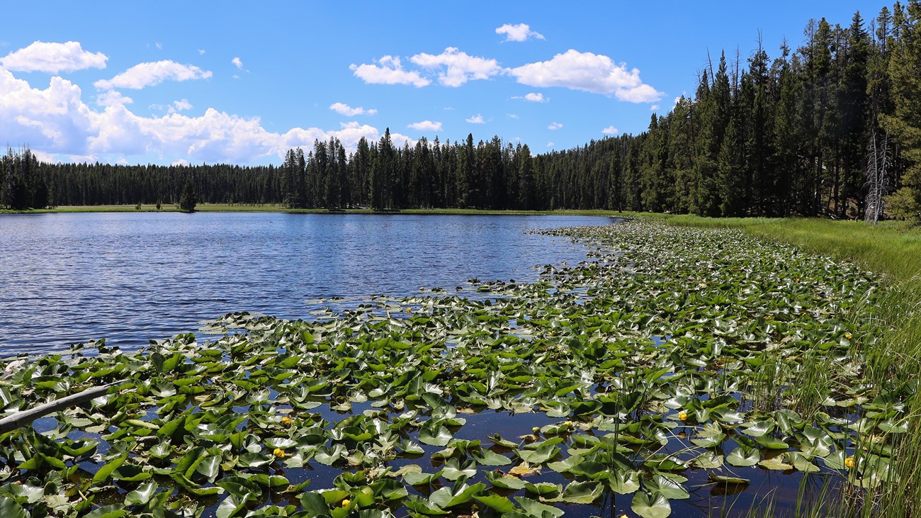
Ribbon Lake’s lily pads and forested shore provide a quieter destination than the nearby canyon overlooks. Grizzly bears frequent the greater area, so quiet scenery should never be mistaken for low wildlife risk.
Standard return or Artist Point variation
The simplest plan is to retrace the approach. The NPS also describes an alternate return through the Lily Pad Lake junction toward Point Sublime and Artist Point, followed by the paved South Rim trail. That variation requires careful attention to current signs and is intentionally excluded from this GPX.
Directions and parking
Use the Upper Falls Viewpoints parking area on South Rim Drive, about 2.3 miles south of Canyon Junction. The trail begins on the southeast side of the lot. South Rim access is seasonal; verify that the road and trailhead are open.
Hydrothermal-ground safety
Clear Lake is a hydrothermal area. Stay on the designated trail at all times: thin crust can cover dangerously hot ground, and apparently solid surfaces may not support a person. Do not step around mud or another group by leaving the route.
Put the GPX on your watch
- Download the GPX from the map.
- Garmin: import it as a Course in Garmin Connect and sync it.
- COROS: add it to the COROS route library and sync it.
- Apple Watch: use WorkOutDoors, Footpath, Gaia GPS, or another GPX-capable app.
- For another device, look for GPX import under Routes, Courses, or Navigation.
- Use an official map and signs if choosing the optional Artist Point return.
Season, bears, and current conditions
The NPS lists summer and fall as the hiking seasons. Carry accessible bear spray, keep the group together, and check current Yellowstone conditions plus the backcountry situation report before starting.
Ribbon Lake Trail FAQ
How long is Ribbon Lake Trail?
The National Park Service lists the standard outing as a 5.8-mile out-and-back taking about 3–4 hours.
Can I return through Artist Point?
The NPS describes an alternate route through the Lily Pad Lake junction toward Point Sublime and Artist Point. Confirm signs and current access because this GPX maps only the standard Ribbon Lake approach.
Can I walk off trail near Clear Lake?
No. It is a hydrothermal area, and the NPS directs hikers to remain on the designated trail.
Related Yellowstone hikes
- Brink of the Lower Falls Trail — a short but very steep Canyon route
- Mount Washburn Trail — a strenuous nearby high-elevation climb
This generalized GPX is for planning and does not replace trail signs or current NPS instructions. Facts checked against the National Park Service Ribbon Lake Trail guide. GPX source: official NPS map centerlines.