
The best one-day Yellowstone hiking itinerary for a first visit pairs the Grand Canyon of the Yellowstone with the Lake area. The core plan covers 3 miles on the Brink of the Lower Falls and Storm Point trails; add Natural Bridge for a 5.5-mile day. This keeps the route geographically sensible while still delivering a waterfall, canyon, wildlife habitat, and Yellowstone Lake shoreline.
One-day itinerary at a glance
| Part of day | Plan | Hiking |
|---|---|---|
| Early morning | Brink of the Lower Falls and nearby canyon overlooks | 0.7 mile, very steep |
| Late morning | Drive toward Yellowstone Lake; allow time for overlooks and traffic | — |
| Early afternoon | Storm Point loop | 2.3 miles, easy |
| Late afternoon | Optional Natural Bridge out-and-back | 2.5 miles, easy |
Core mileage: 3 miles. Full mileage: 5.5 miles. Driving, wildlife jams, parking, meals, and scenic stops are not included in hiking times.
How to follow this one-day Yellowstone hiking itinerary
1. Start early at the Grand Canyon of the Yellowstone
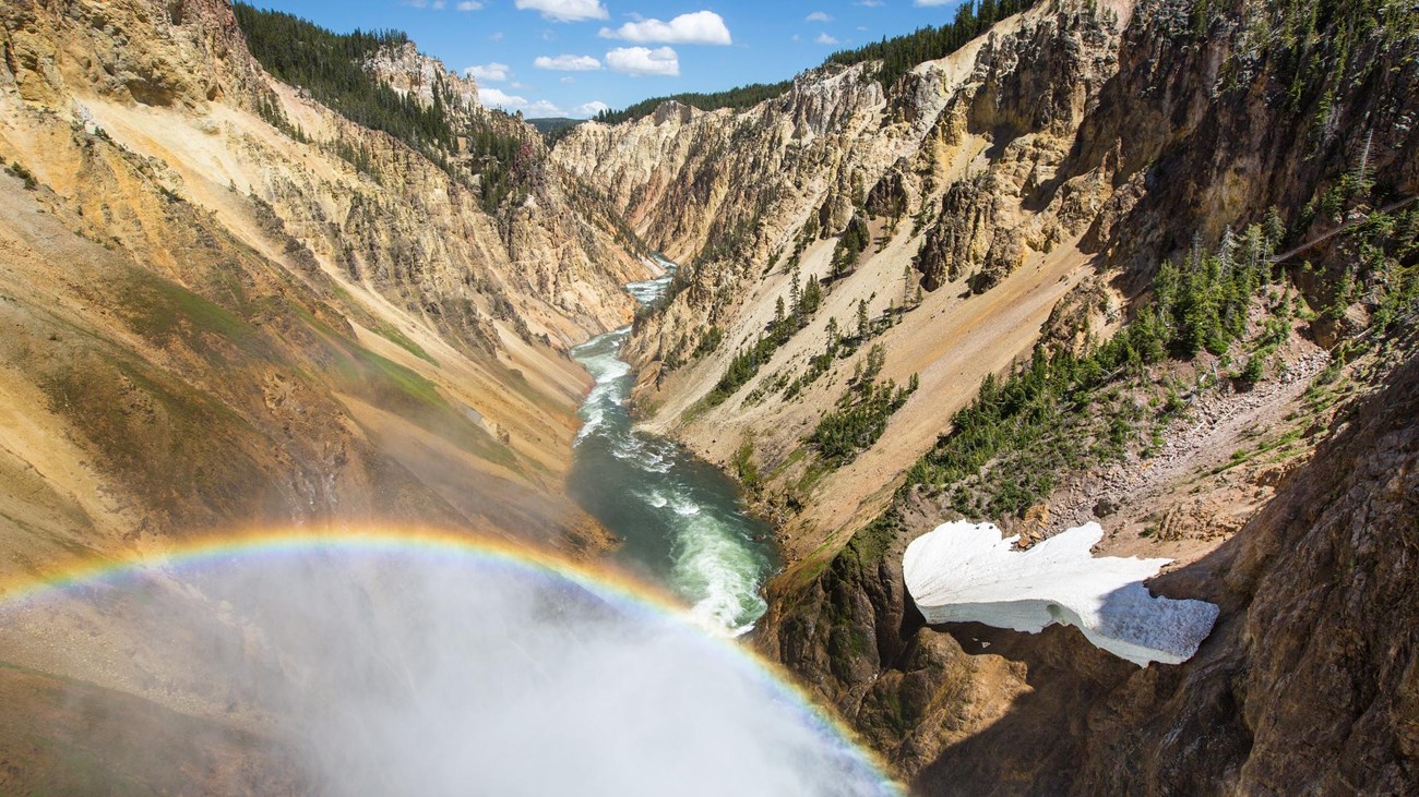
Begin on the North Rim before parking areas and viewpoints become busier. The Brink of the Lower Falls Trail guide has the parking details, map, and downloadable GPX track. The trail is only 0.7 mile round trip, but its roughly 600-foot climb back up makes it a strenuous start.
If steep switchbacks are a poor fit, use accessible canyon overlooks instead and save your energy for Storm Point. Do not treat the short mileage as an easy walk.
2. Move south to Yellowstone Lake
After the canyon, continue toward the Fishing Bridge and Lake areas. Avoid squeezing in an unrelated trail on the opposite side of the park. Yellowstone traffic is unpredictable, so use the middle of the day as a buffer for food, wildlife viewing from designated pullouts, and parking.
3. Hike the Storm Point loop
The 2.3-mile Storm Point Trail passes Indian Pond, meadow, forest, and a rocky Yellowstone Lake shoreline. Its guide includes the route map, GPX file, trailhead details, and bear-management closure information. Check the trailhead notice before starting; this area can close for bear activity.
Storm Point is the core lake hike. If the trail is closed or afternoon thunderstorms are building, skip it rather than forcing the schedule.
4. Add Natural Bridge only if the day is running smoothly
If you still have time and energy, finish with the 2.5-mile Natural Bridge Trail near Bridge Bay. It is an easier forest walk to a rhyolite formation, but access can be seasonally restricted for bear management. Its complete guide has the current planning notes, map, and GPX track.
Easier and harder versions
- Easier day: Use canyon overlooks instead of descending to the brink, then hike Storm Point. If Storm Point is closed, substitute Natural Bridge when open.
- Core first-timer day: Brink of the Lower Falls plus Storm Point for 3 trail miles.
- Longer day: Add Natural Bridge for 5.5 total trail miles.
- More climbing: Replace Natural Bridge with the 3.5-mile Elephant Back Mountain Trail for an elevated view over Yellowstone Lake.
Where to stay for this route
Canyon Village is the simplest base if the canyon is your priority. Lake Village, Fishing Bridge, or Bridge Bay puts you closer to the afternoon hikes. This is a geographic recommendation, not a promise of lodging availability; reserve early and confirm seasonal opening dates.
Maps, GPX files, and safety checks
This itinerary does not combine separate hikes into a misleading single GPX track. Open each linked trail guide to view its interactive map and download that trail’s GPX file. Save maps before leaving reliable service.
- Check the official Yellowstone conditions and backcountry situation report on the day of the hike.
- Carry bear spray where it is immediately accessible and know how to use it.
- Give wildlife the distances required by the National Park Service and never approach an animal for a photograph.
- Bring water, food, sun protection, and layers. Much of Yellowstone is above 7,000 feet, and weather changes quickly.
- Turn around for lightning, unsafe snow, active closures, or a pace that would leave the group rushing late in the day.
One-day Yellowstone itinerary FAQ
Is this enough hiking for one day?
Yes. Three trail miles can fill a Yellowstone day once driving, overlooks, parking, meals, wildlife delays, and a steep canyon climb are included. Add Natural Bridge only when conditions and timing support it.
Can I reverse the order?
Yes, especially if you are sleeping in the Lake area. Start with the hike closest to your lodging, but keep the Canyon and Lake stops grouped together.
What if a trail is closed?
Use the listed substitute instead of ignoring a closure. Yellowstone closes routes for wildlife, weather, fire, construction, and other hazards; posted notices always override this plan.
Official planning sources: Yellowstone hiking, Grand Canyon of the Yellowstone, Storm Point Trail, and Yellowstone safety. Verify current conditions before departure.