
Trout Lake Trail in Yellowstone is a moderately easy 1.2-mile lollipop loop in the park’s northeast corner. A short, steady climb leads to a quiet lake ringed by forest and open slopes, then a gentle path circles the shoreline.
This guide includes parking directions, wildlife considerations, an interactive map, and a downloadable GPX track. Compare it with other approachable routes in our Hiking with Kids collection.
Trail Details
| Full hike | 1.2-mile lollipop loop |
| GPX coverage | 1.14 miles |
| Difficulty | Moderately easy |
| Time | 1–2 hours |
| Elevation gain | About 150 feet |
| Trailhead | Northeast Entrance Road south of Pebble Creek Campground |
Distance note: do not double the GPX. It includes the approach, lake circuit, and return.
Trout Lake Trail map and GPX
The map follows the complete lollipop-shaped route. GPX Viewer includes this page’s single route-download button.
trout-lake-trail GPX
| Name: | No data |
| Distance: | No data |
| Minimum elevation: | No data |
| Maximum elevation: | No data |
| Elevation gain: | No data |
| Elevation loss: | No data |
| Duration: | No data |
What the hike is like
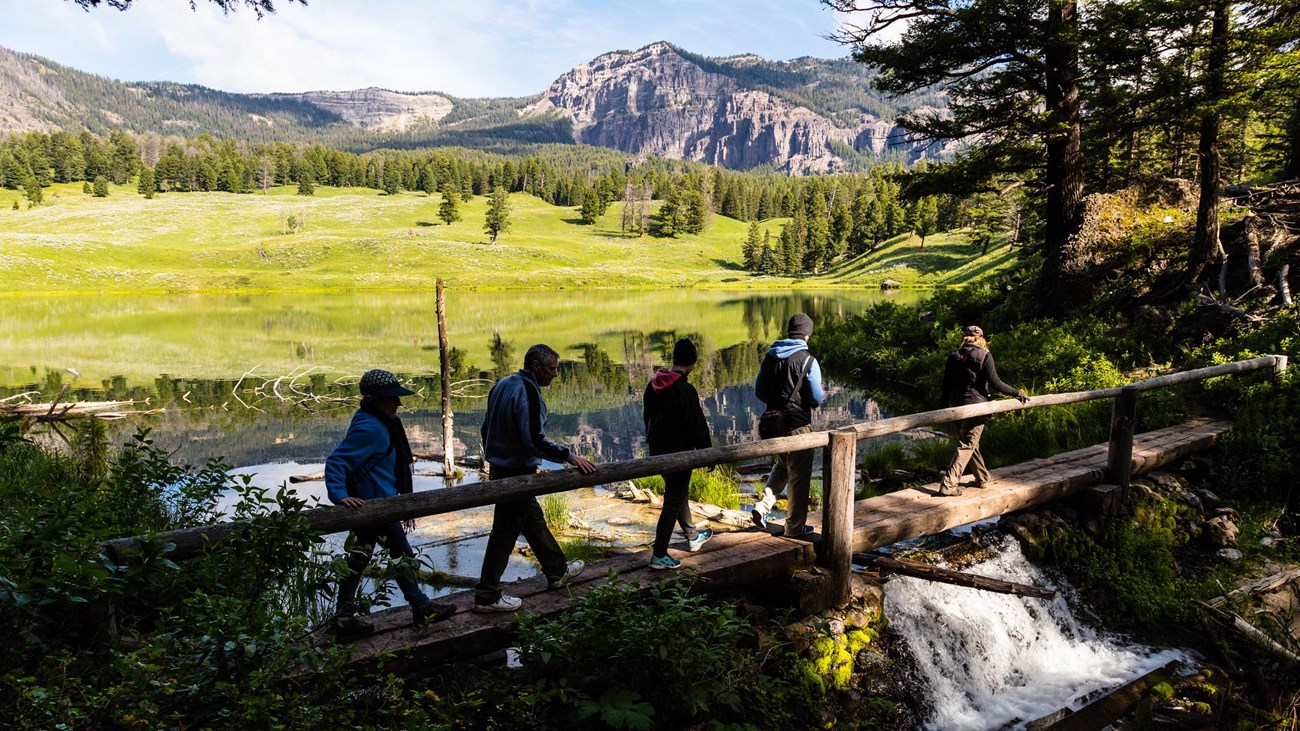
The trail climbs roughly 150 feet through Douglas-fir forest before reaching Trout Lake. At the junction, loop around the lakeshore and then return down the same approach trail. The northeast landscape feels quieter than Yellowstone’s major thermal basins, though the small parking area can still fill.
The route is short enough for many families, but the opening climb, uneven ground, and wildlife habitat make it a real trail rather than a paved nature walk. Keep children close, give every animal a wide berth, and carry bear spray where it can be reached quickly.
Directions and parking
The trailhead is on the Northeast Entrance Road about 1.5 miles south of Pebble Creek Campground. Use only the signed roadside parking area, secure food and scented items, and avoid blocking traffic.
Put the GPX on your watch
- Download the GPX from the map.
- Garmin: import it as a Course in Garmin Connect and sync it.
- COROS: save it to the route library in the COROS app and sync it.
- Apple Watch: import it with WorkOutDoors, Footpath, Gaia GPS, or another GPX-capable app.
- For another device, look for GPX import under Routes, Courses, or Navigation.
- Confirm that the approach and loop are available offline before hiking.
Wildlife and current conditions
Both black and grizzly bears use the northeast corner, and other wildlife may be close to the road or lake. Never approach or feed animals. Check current Yellowstone conditions and the backcountry situation report before the hike.
Trout Lake Trail FAQ
How long does Trout Lake Trail take?
Allow 1–2 hours for the 1.2-mile route, including time to walk around the lake and watch wildlife from a safe distance.
Is Trout Lake Trail good for kids?
It can be a good family hike for children comfortable with a short uphill trail. Adults should manage wildlife safety, carry bear spray, and keep children nearby.
Is Trout Lake Trail a loop?
It is a lollipop: you hike an out-and-back stem, circle the lake, then return on the same stem. The supplied GPX includes the full pattern.
Related Yellowstone hikes
- Harlequin Lake Trail — a very short lake walk near Madison
- Storm Point Trail — an easy Yellowstone Lake loop
This generalized GPX is for planning and does not replace trail signs, an official map, or current NPS instructions. Facts checked against the National Park Service Trout Lake Trail guide. GPX source: NPS Yellowstone trail centerline data.