
Riddle Lake Trail in Yellowstone is an easy 4.8-mile out-and-back hike through forest and small mountain meadows to a quiet lakeshore. The route crosses the Continental Divide and offers scenery and wildlife habitat without a major climb.
This guide covers the seasonal opening, parking, wildlife safety, interactive map, and one-way GPX track. For broader planning, visit our Hiking in Yellowstone guide.
Trail Details
| Full hike | 4.8 miles round trip |
| GPX coverage | 2.38 miles one way |
| Route | Out and back |
| Difficulty | Easy |
| Time | 2–4 hours |
| Elevation | Not included in the source GPX |
| Trailhead | 3 miles south of Grant Village junction |
Distance note: the GPX ends at the lake. Retrace the route for a complete 4.76-mile outing, officially rounded to 4.8 miles.
Riddle Lake Trail map and GPX
Use the interactive map to preview the route. The map includes the article’s single GPX download link; reverse the one-way track to return to the trailhead.
riddle-lake-trail GPX
| Name: | No data |
| Distance: | No data |
| Minimum elevation: | No data |
| Maximum elevation: | No data |
| Elevation gain: | No data |
| Elevation loss: | No data |
| Duration: | No data |
What the hike is like
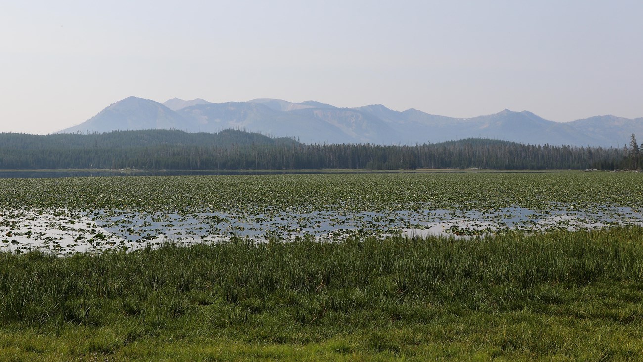
The mostly mellow trail alternates between lodgepole forest and small meadows before reaching Riddle Lake. Watch the open areas for elk and the lakeshore for birds, while giving every animal plenty of room. The return follows the same route.
Easy terrain does not mean zero risk. This is active grizzly habitat, and the seasonal opening can be delayed to protect nesting trumpeter swans. Never step around a closure sign, even if your GPX appears to continue.
Important: this file is the 2.38-mile one-way track from the trailhead to Riddle Lake. Reverse the same track to return, making the complete hike approximately 4.76 miles (officially rounded to 4.8 miles).
Directions and parking
The trailhead is approximately 3 miles south of the Grant Village intersection, just south of the Continental Divide sign. Use the signed roadside trailhead and do not block traffic or park outside designated areas.
Load the GPX on a GPS watch
- Download the GPX to your phone or computer.
- Garmin: import it into Garmin Connect as a Course and send it to your compatible device.
- COROS: import it into the COROS app’s route library and sync it to the watch.
- Apple Watch: open it in a compatible app such as WorkOutDoors, Footpath, or Gaia GPS.
- For another watch, find its Routes, Courses, or Navigation import in the companion app.
- Because the file ends at the lake, confirm your watch can reverse or retrace a route before starting. Otherwise, save a separate return route or navigate back along the visible breadcrumb.
Check the seasonal opening
Riddle Lake Trail normally opens in mid-July and may open later when trumpeter swans are nesting. Check the Yellowstone Backcountry Conditions immediately before hiking; posted closures override this guide and the GPX.
Riddle Lake Trail FAQ
How long does Riddle Lake Trail take?
Allow about 2–4 hours for the 4.8-mile round trip, depending on pace and time spent at the lake.
When does Riddle Lake Trail open?
The NPS says the trail opens in mid-July or later if trumpeter swans are nesting. Always check the current Backcountry Situation Report before driving to the trailhead.
Is the Riddle Lake GPX a round trip?
No. The GPX covers 2.38 miles from the trailhead to the lake. Reverse or retrace the same route for the return.
Related Yellowstone hikes
- Storm Point Trail — an easy loop beside Yellowstone Lake
- Avalanche Peak Trail — a strenuous summit hike near the East Entrance road
This file is a planning aid and contains a one-way centerline, not a recorded round trip. Facts checked against the National Park Service Riddle Lake Trail guide. GPX source: NPS Yellowstone trail centerline data.